Complete a round‑Britain coastal journey
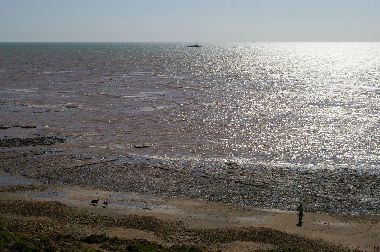
Plan, travel and complete a continuous coastal circuit of Great Britain using a mix of walking, cycling, scheduled public transport and optional small-boat legs. Choose a line that matches your ambitions: a strict on-foot route following designated coast paths and low-tide crossings where permitted, a mixed-mode itinerary that links ferries and trains with walking sections, or a largely marine route completed aboard a small craft with shore visits. The aim is a purposeful, documented circumnavigation that recognises seasonal access rules, tidal constraints and local restrictions. Break the journey into manageable legs and use official coastal-access maps, tide tables and marine forecasts to set daily objectives and safe crossing windows. For sea legs or chartered sections follow RYA guidance on passage planning, required safety equipment and notices to mariners. Allow flexible rest days for weather, resupply and transport disruption and plan clear exit points in each leg so you can change plans if conditions deteriorate. Prepare with route-specific equipment (navigation charts/OS maps or digital mapping, tide tables, waterproofs, sturdy footwear, hi‑vis and lighting for short winter days), resupply plans and emergency communications. Check local access and protected-area restrictions published by Natural England or local authorities and carry appropriate permits where required. If planning to use a vessel for parts of the circuit, file a float plan with a shore contact, carry VHF and lifejackets and ensure the vessel and crew meet sea‑going safety standards. This is a high-intensity, high‑commitment travel project that can be staged over weeks or months depending on route, pace and transport choices. Expect a variable budget depending on the chosen mix of self-supported walking, public transport, accommodation and paid marine transfers; allow extra time for weather windows and contingency days.