Hike the Matterhorn Trail in Zermatt
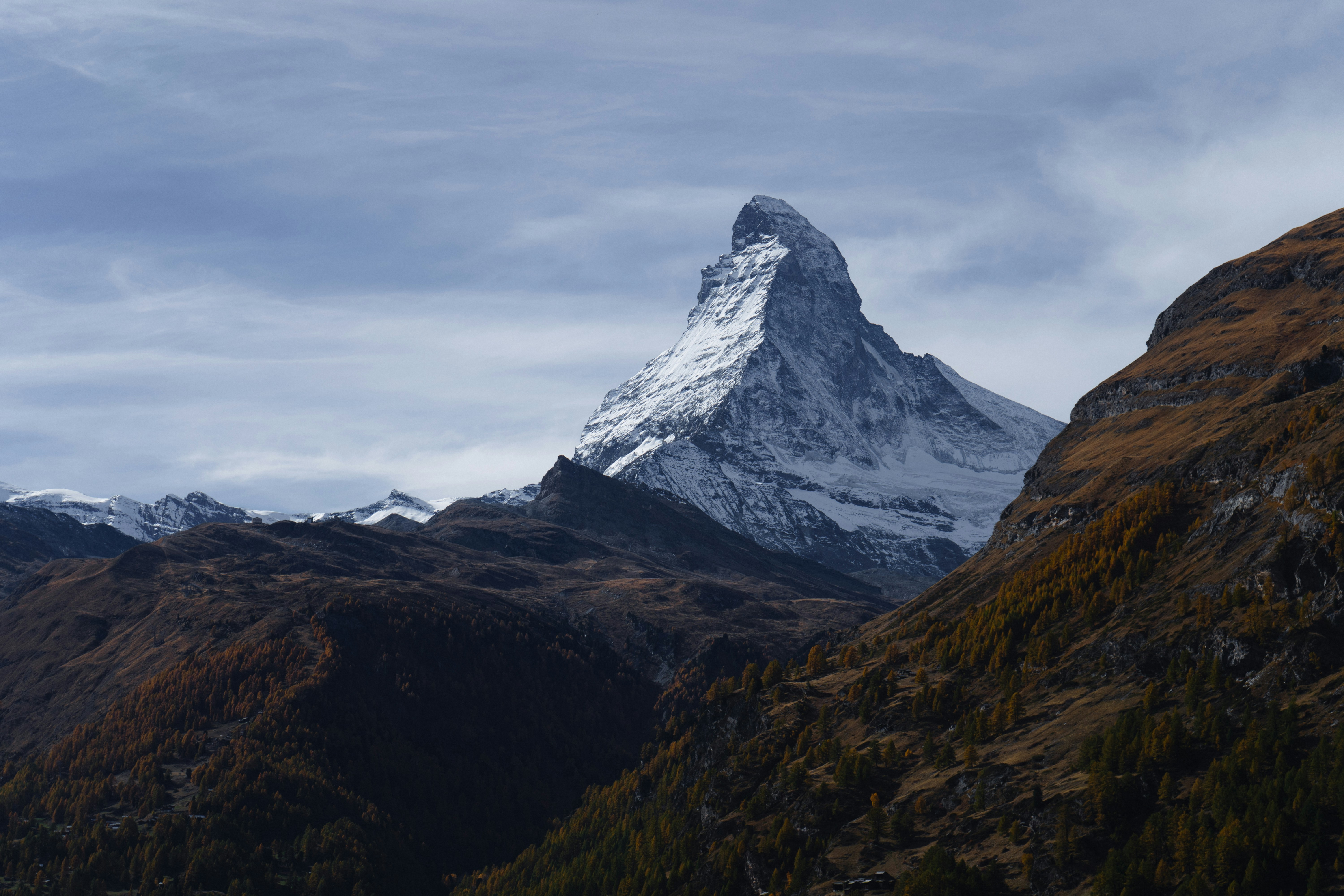
Hiking beneath the Matterhorn is not the same as climbing its summit. Zermatt’s marked walking network offers valley paths, high routes and glacier viewpoints where the mountain’s changing profile dominates the day without technical alpinism. Choose one named trail whose distance, ascent, surface and exposure suit the group, and let safe time in the landscape be the achievement. Use Zermatt Tourism’s live trail map, lift status and weather, then confirm the chosen route locally on the morning. Snow, ice, storms, rockfall and closed lifts can transform a familiar summer walk. From the UK, check Swiss travel advice and insurance for the highest altitude reached; hire a qualified local hiking or mountain guide when navigation, exposure or conditions exceed your experience. Carry proper walking boots, warm and waterproof layers, sun protection, food, water, offline mapping and emergency contacts. Start early, turn round for cloud, thunder, fatigue or a missed lift connection, and allow extra time for altitude and descent. Stay on open marked paths, keep away from glacier ice and never follow a mountaineering line because it looks shorter. Give wildlife and grazing animals space, close gates, take every item of litter down and yield without forcing others toward an edge. Pause to understand the glaciers, huts and history rather than using the Matterhorn as a backdrop alone. Completion is finishing a clearly identified open trail in the Matterhorn landscape under suitable conditions—not attempting the summit, crossing closure tape or continuing because a photograph, booking or last cable car feels more important than the weather.