Read the Tides and History of Grand Pré, Canada
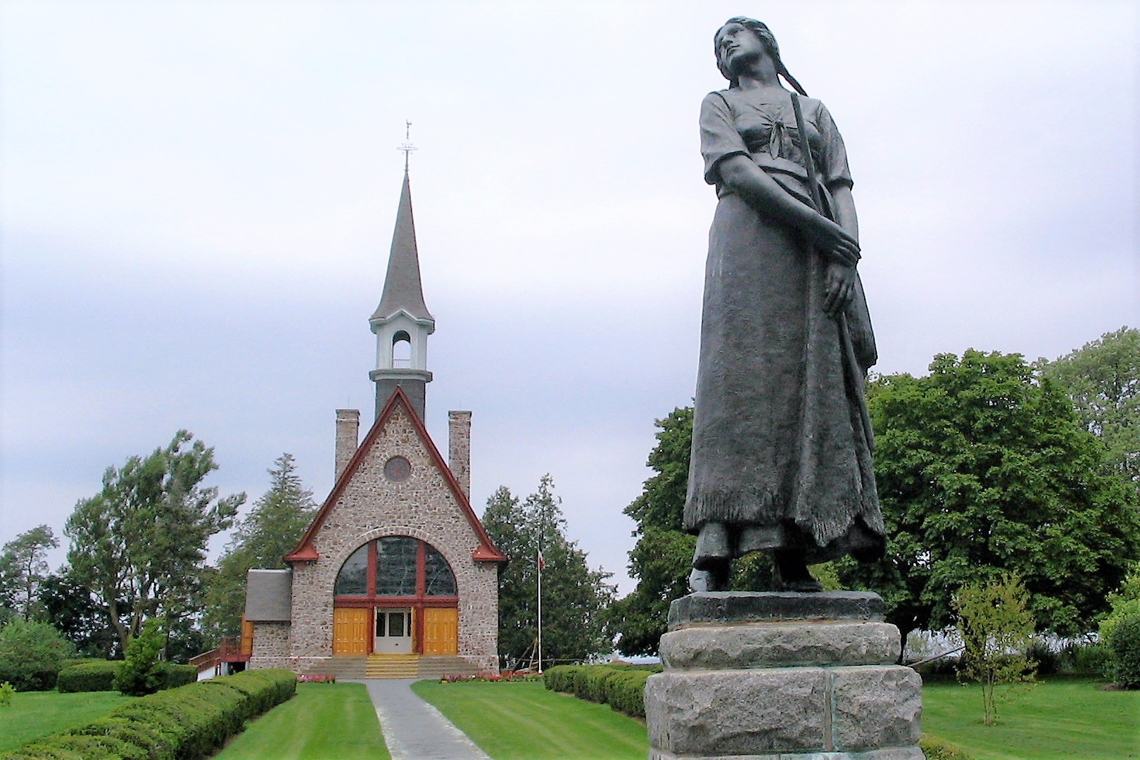
At Grand Pré, broad fields meet some of the world’s highest tides. Dykes and drainage works reveal how Acadian communities shaped the marshland, while memorial places hold the rupture of deportation within an apparently peaceful agricultural view. Begin with the UNESCO landscape and Grand-Pré National Historic Site interpretation, then look outward to the dykelands, settlements and tidal basin. Check seasonal opening, tides and local transport; allow time for both the engineered landscape and Acadian history. Keep to public routes, respect farms, memorial spaces and private land and never enter tidal mudflats without local expertise. Weather changes quickly, ground can be uneven and facilities are seasonal, so confirm accessible paths, seating and services for the date. Count it complete after visiting the landscape and learning how both Acadian farming and the Grand Dérangement shaped its meaning. Add it if you want a quiet view to reveal an unusually powerful connection between water management, endurance and memory.